
72
The Metropolitan Jerusalem Master Plan
The Metropolitan Jerusalem Master Plan
73
Illustrations: Mike Demidov, Shutterstock
BRT system which would provide
high-quality service and a metro
system.
In this context, it is important
to emphasize that with the current
situation (in 2016), a well-distributed
bus system in metropolitan
Jerusalem, together with the light
rail inaugurated in 2011, provides
reasonable public transportation
to the metropolis. The advantages
of a bus system – especially when
upgrading them to BRT – is its
flexibility and the option to change
the routes to suit the changing needs
of a developing city.
Thus, as of today, there is no
reason to attempt detailed planning
of the bus routes or to change the
principle manner of their activity.
Their existence and important role
should be recalled and integrated
as a vital part of the planned
transportation network.
*
*
Intercity train
*
Light rail
*
Airport
* Circumferential road
* BRT
* Metro
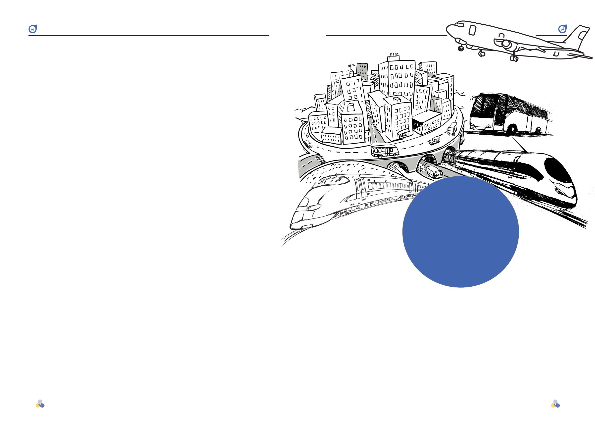
Transportation
Several limits have dictated the
thinking behind the planning of
roads and streets in Jerusalem in
the past, present, and future. The
topography of the Jerusalem region
makes it extremely difficult to
develop a transportation network.
The city is located on a relatively
narrow mountain (7 kilometers
across south of the Old City).
Both sides of the mountain are
rich in natural resources and very
steep. The wadis have offshoots
going to the east and west. The
city itself is densely built, and the
streets are largely narrow, and it
would be difficult to widen them.
There is almost no room to add to
the city’s transportation capacity by
widening or improving existing axis
or opening new ones. The proposed
road plans have utilized the existing
space for new roads almost to its
fullest. The next stage would be a
revolutionary change in approach,
and only this would enable
metropolitan Jerusalem to become a
city based on public transportation
– a move which would save the city
from a transportation disaster.
In order to turn Jerusalem
into a metropolis based on public
transportation, the following steps
must be taken:
A.
Drastic improvements need
to be made in the level of
service provided by public
transportation.
B.
The transportation system
– new roads and railroads –
must be planned while giving
complete preference to public
transportation, at the expense of
the convenience of those using
private transportation.
C.
Facilities that encourage
people to move over to public
transportation instead of private
must be added, such as Park &
Go centers.
D.
The cost and ease of using
private transportation in
Jerusalem must be increased and
decreased, respectively, by means
of tolls, designating central
roads for public transportation
only, and such.
E.
An intercity axis must be paved,
circumventing the city and
allowing traffic to run through
the metropolis from the north
(Binyamin and Samaria), the
south (Judea), east (the valley
and the Dead Sea), and west (the
coastal plain) without having to
go through the city.
A combination of these
means, parallel to encouraging
the use of public transportation
by advertising and educating the
public, could lead to Jerusalem
being a public transportation city.
In our estimation, this change is
imperative, and only this change
will enable the city to keep up with
the developing traffic needs of the
coming half-century.
The current plan doesn’t
address the full details of its
implementation. Our presumption
was that use of public
transportation in the city, with the
implementation of the plan, will
reach similar rates of those found
in cities where there is increased
use of public transportation,
assuming that Jerusalem’s public
transportation system would be able
to achieve a similar level of quality.
The plan includes several important
tools for encouraging the use of
public transportation, the most
important one being numerous
Park & Go lots at transport
centers near or at train stations, the
establishment of a high-capacity
Transportation


